[title subtitle=”WORDS and IMAGE courtesy Arkansas Department of Parks and Tourism”][/title]
COSSATOT RIVER STATE PARK-NATURAL AREA
1980 Hwy. 278 West
Wickes, Arkansas
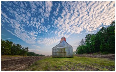
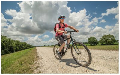
This park-natural area extends for 12 miles along the National Wild and Scenic Cossatot River. The river forms Cossatot Falls, a rocky canyon with Class IV rapids for experienced kayakers and canoeists when local rainfall increases the watershed. Brushy Creek Recreation Area offers picnic sites, restrooms, and river access. Tent sites (no hookups) are located at the Cossatot Falls Area (six sites), Sandbar Area (15 sites), and Ed Banks Area (two sites). A primitive (no water or electricity) group camping area with tent sites, pavilion, restroom, fire pit, grill, and river access is available by reservation at River Ridge Group Camp. Hikers can enjoy four scenic trails spanning nearly 20 miles. The visitor center features exhibits, a wildlife observation room, meeting room, and gift shop. Interpretive programs are offered year-round. For more information about Cossatot River State Park – Natural Area and the other fifty-one state parks, visit arkansasstateparks.com